Dornoch to Golspie
This stage of the walk is mostly along the shores of Loch Fleet National Nature Reserve and through lovely Balblair Woods. It is mostly level walking and very pleasant and relaxing. This stage starts from The Square in the lovely centre of Dornoch and goes along a gentle sea coast before turning inland and going round Loch Fleet. It then crosses the bridge known as The Mound, an engineering marvel with interpretive signs in the car park, at the head of Loch Fleet. The it goes in and out of pretty woods on the way to Golspie.
Golspie to Brora
This stage starts in Golspie, crossing a lovely bridge and going through meadows next to the sea. It then passes massive and fairy-tale-like Dunrobin Castle. You then go through a wood, one of the few along the coast path. There are many meadows and fields, and at one point the small pretty cliffs come close to the sea, but you always have plenty of room to walk. Finally you pass an old World War II radio intercept station on the way into Brora with its lovely waterfront and tiny harbour. This stage is shorter and gentler than most others.
Brora to Helmsdale
In this stage it’s exciting to get up to the clifftops for the first time and see trains passing below on the railway. This stage starts in Brora with nice easy walking along a path between a golf course and the sea. Then the path is squeezed between the sea and the railway, making for some slightly challenging terrain. Ford a small river and then continue through a large peaceful caravan park. The path crosses the railway and takes to cliff tops for the first time. (You'll be on cliff tops now most of the way to John O'Groats.) Pass through the lovely village of Portgower and then pass along old lanes on a hillside on the way into Helmsdale. Portgower is so lovely it may tempt you to stop for a day or more.
Helmsdale to Berriedale
This stage of the walk was the most difficult as it involves some strenuous walking up and over the massive Ord of Caithness headland. The stage starts in central Helmsdale and goes along near the shore below cliffs before climbing to cliff tops for spectacular views of the Ord of Caithness headland. There is a rough crossing of two ravines and then an old track that runs for a couple km through eerie scrubland. Then cross a steep gorge with a rushing burn at the bottom. Walk past the ruined houses of the clearance village of Badbea and then follow another old track high above the sea before descending past fields and strange follies into tiny Berriedale.
Berriedale to Dunbeath
This stage starts from the pedestrian footbridge over the river called Berriedale Water and immediately the way rises to clifftops. You’ll find several interesting sights, including a wildlife blind and something like a private nature trail through a wood. After several more lovely miles along clifftops, the way passes through the grounds of Dunbeath Castle before reaching Dunbeath itself.
Dunbeath to Lybster
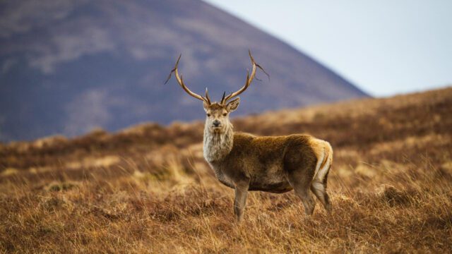
The two harbours along the way provided beautiful scenery, along with a nice respite in a park by the river in Latheronwheel. This stage starts from the pedestrian bridge over the river in Dunbeath and goes along cliff tops pretty much the whole way to Lybster. Along the way there are the two stunning harbours already mentioned. There are also a couple glens to cross, but neither is a very great challenge. Additionally there is a large deer enclosure that requires about 1.5 km of walking between a tall fence and the sea, but this is a great opportunity to see some beautiful deer up close.
Lybster to Whaligoe
This stage starts from the roads in Lybster and then immediately goes along the cliff tops. It passes a beautiful cascade of waterfalls and a needle-like sea stack before reaching the hidden world that is Clyth Harbour. It then passes more waterfalls and there is a chance to see the remains of ancient sea access steps at The Haven. It ends at the stunning Whaligoe Steps and the excellent Whaligoe Cafe.
Whaligoe to Wick
This stage starts from the excellent Whaligoe Cafe with access to the Whaligoe Steps. It then goes along cliff tops, through farms small and grand, and passes a fascinating hole with a view straight down to the sea, to arrive at the pretty harbour of Sarclet. Then it reaches one of the most magnificent sea arches I've ever seen before passing several other lovely coastal features. After passing the ruins of Old Wick Castle, it finally ends in Wick. The best place to stay is the lovely Thrumster House just south of Wick near the village of Thrumster.
Wick to Keiss
This stage starts in the centre of Wick and goes along roads for 3 kilometres before setting out along the cliff tops again. You'll soon come to Noss Head lighthouse, then haunting Sinclair Girnigoe Castle, and then the lovely hotel called Ackergill Tower. After that you'll walk along a ridge of sand dunes, cross a large river, and then walk along more dunes before arriving at Keiss.
Keiss to John O’Groats
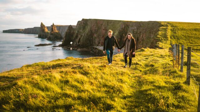
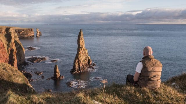
From Keiss the walk is mostly along cliff tops with particularly beautiful walking between Samuel's Geo and Bucholly Castle. Then Ness Head provides a sweeping view of Freswick Bay and previews much of the rest of the walk as you can see the next two and a half miles. After rounding Skirza Head, it’s pretty much a straight shot up the coast. But what a coast! You’ll see amazing sea stacks, including eventually the Stacks of Duncansby. After that is Duncansby Head itself, and then you have the easy walk along roads to John O’Groats. You’re done!